Geolocate

Malamig topographic map

Click on the map to display elevation.

About this map

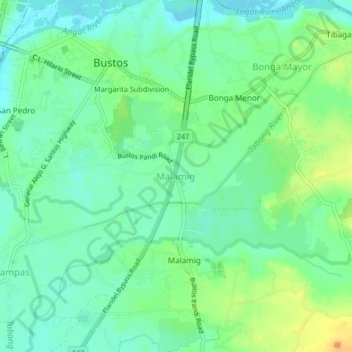
Name: Malamig topographic map, elevation, terrain.

Location: Malamig, Bulacan, Central Luzon, 3007, Philippines (14.92179 120.90687 14.96179 120.94687)

Average elevation: 62 ft

Minimum elevation: 23 ft

Maximum elevation: 131 ft

Gear up for your next adventure:

🧷Carabiner Set - Durable clips for gear attachment
🛌Ultralight Sleeping Bags - Compact down bags for cold nights in the wilderness
🔌Solar Panel Charger - Charge gear sustainably outdoors
📷Action Cameras - Rugged cameras to document your journeys across rugged terrain
📱Heavy-Duty Phone Cases - Drop-proof and waterproof protection for outdoor navigation

As an Amazon Associate, this site earns from qualifying purchases at no extra cost to you.