
Make a donation
Gear up for your next adventure:
As an Amazon Associate, this site earns from qualifying purchases at no extra cost to you.
Siemkensheuvel topographic map
Click on the map to display elevation.
Make a donation
Gear up for your next adventure:
As an Amazon Associate, this site earns from qualifying purchases at no extra cost to you.
Siemkensheuvel
De eigenlijke heuvel is een landduin met hoogte van 38 meter. Er is een bosgebied waar men kan wandelen. Ten westen van Siemkensheuvel bevindt zich het natuurgebied Tösch-Langeren.
Make a donation
Gear up for your next adventure:
As an Amazon Associate, this site earns from qualifying purchases at no extra cost to you.
About this map
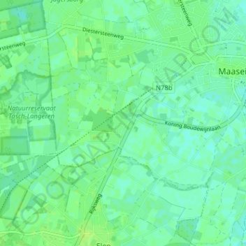
Name: Siemkensheuvel topographic map, elevation, terrain.
Location: Siemkensheuvel, Maaseik, Limburg, 3680, België (51.06628 5.74278 51.10628 5.78278)
Average elevation: 105 ft
Minimum elevation: 89 ft
Maximum elevation: 121 ft
Make a donation
Gear up for your next adventure:
As an Amazon Associate, this site earns from qualifying purchases at no extra cost to you.