
Lieske topographic map
Click on the map to display elevation.
About this map
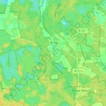
Name: Lieske topographic map, elevation, terrain.
Location: Lieske, Guttau, Malschwitz, Bautzen, Sachsen, Deutschland (51.30691 14.51014 51.34691 14.55014)
Average elevation: 453 ft
Minimum elevation: 420 ft
Maximum elevation: 479 ft
Other topographic maps
Click on a map to view its topography, its elevation and its terrain.
Olbasee
Deutschland > Sachsen > Bautzen > Guttau
Nach der Entscheidung zur Betriebseinstellung wurden verwertbare Gerätschaften ausgebaut und die Grubenbaue geflutet. Der Wasserstand erreichte bis zum Frühjahr 1932 etwa seine heutige Höhe. In den 1930er Jahren erfolgten Einebnungs- und Rekultivierungsarbeiten.
Average elevation: 489 ft