
Simbila topographic map
Click on the map to display elevation.
About this map
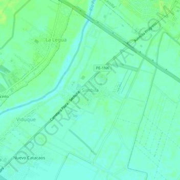
Name: Simbila topographic map, elevation, terrain.
Location: Simbila, Catacaos, Piura, 20006, Perú (-5.26627 -80.67017 -5.22627 -80.63017)
Average elevation: 85 ft
Minimum elevation: 69 ft
Maximum elevation: 105 ft