
نعى topographic map
Click on the map to display elevation.
About this map
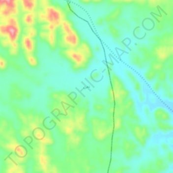
Name: نعى topographic map, elevation, terrain.
Location: نعى, Rabigh, Makkah Region, Saudi Arabia (23.22388 39.11368 23.26388 39.15368)
Average elevation: 568 ft
Minimum elevation: 417 ft
Maximum elevation: 902 ft