Geolocate

Sumbal topographic map

Click on the map to display elevation.

About this map

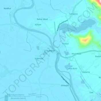
Name: Sumbal topographic map, elevation, terrain.

Location: Sumbal, Sonawari, Bandipore District, Jammu and Kashmir, India (34.19104 74.60477 34.27104 74.68477)

Average elevation: 5,230 ft

Minimum elevation: 5,167 ft

Maximum elevation: 6,857 ft

Gear up for your next adventure:

🔭Compact Binoculars - HD vision for scouting terrain and identifying distant landmarks
🚁Photography Drones - Capture stunning aerial views of landforms and topography
🧼Biodegradable Camping Soap - Eco‑friendly soap for outdoor hygiene
🎒Trail Energy Bars - High‑calorie bars for hiking energy
📶Vehicle Signal Boosters - Improve reception in rural areas while driving to trailheads

As an Amazon Associate, this site earns from qualifying purchases at no extra cost to you.