
Wolf Creek topographic map
Click on the map to display elevation.
About this map
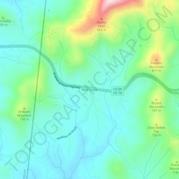
Name: Wolf Creek topographic map, elevation, terrain.
Location: Wolf Creek, Cherokee County, North Carolina, United States (34.99367 -84.32402 35.03367 -84.28402)
Average elevation: 2,044 ft
Minimum elevation: 1,706 ft
Maximum elevation: 3,081 ft
Cherokee County trails, hiking, mountain biking, running and outdoor activities
Other topographic maps
Click on a map to view its topography, its elevation and its terrain.