Geolocate

Madani topographic map

Click on the map to display elevation.

About this map

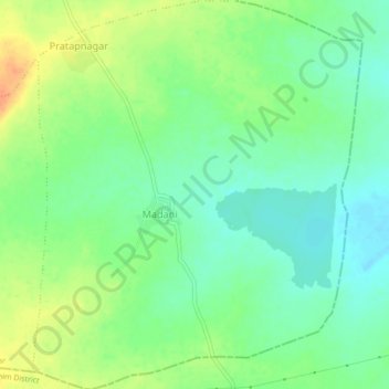
Name: Madani topographic map, elevation, terrain.

Location: Madani, Mehkar, Maharashtra, India (20.12517 76.72554 20.16571 76.76228)

Average elevation: 1,752 ft

Minimum elevation: 1,699 ft

Maximum elevation: 1,831 ft

Gear up for your next adventure:

🩹Survival Bandages - High‑quality bandages for emergencies
🪶Wildlife Field Guides - Learn animal tracking and species ID
🧭Pro Hiking Compasses - High-accuracy liquid-filled compasses for topographic orientation
🛌Ultralight Sleeping Bags - Compact down bags for cold nights in the wilderness
💧Water Filtration Bottles - Safely drink from streams and lakes while exploring

As an Amazon Associate, this site earns from qualifying purchases at no extra cost to you.