
Thank you for supporting this site ❤️
Make a donation
Make a donation
Gear up for your next adventure:
As an Amazon Associate, this site earns from qualifying purchases at no extra cost to you.
Al-Ubayyid topographic map
Click on the map to display elevation.
Thank you for supporting this site ❤️
Make a donation
Make a donation
Gear up for your next adventure:
As an Amazon Associate, this site earns from qualifying purchases at no extra cost to you.
About this map
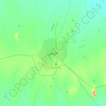
Name: Al-Ubayyid topographic map, elevation, terrain.
Location: Al-Ubayyid, Bara, North Kordofan State, Sudan (13.02337 30.06256 13.34337 30.38256)
Average elevation: 1,850 ft
Minimum elevation: 1,703 ft
Maximum elevation: 2,520 ft
Thank you for supporting this site ❤️
Make a donation
Make a donation
Gear up for your next adventure:
As an Amazon Associate, this site earns from qualifying purchases at no extra cost to you.