Geolocate

Acari topographic map

Click on the map to display elevation.

About this map

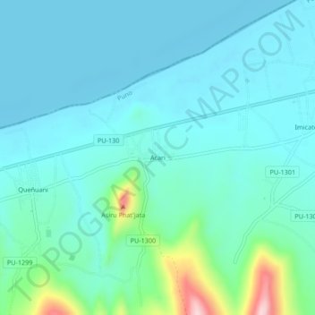
Name: Acari topographic map, elevation, terrain.

Location: Acari, Yunguyo, Puno, Perú (-16.28133 -69.15959 -16.24133 -69.11959)

Average elevation: 12,651 ft

Minimum elevation: 12,513 ft

Maximum elevation: 13,363 ft

Other topographic maps

Click on a map to view its topography, its elevation and its terrain.

Plaza de Armas

Perú > Puno > Yunguyo > Acari

Average elevation: 12,635 ft

Gear up for your next adventure:

🪄Magnetic Compass - Accurate compass for navigation
🛡️Insect Repellent - Protection against bugs during outdoor activities
📱Heavy-Duty Phone Cases - Drop-proof and waterproof protection for outdoor navigation
🥤Water Filter Bottle - All‑in‑one filter bottle for safe hydration
📚USA Hiking Guide Books - Top trail guides and map books

As an Amazon Associate, this site earns from qualifying purchases at no extra cost to you.