Geolocate

Utao topographic map

Click on the map to display elevation.

About this map

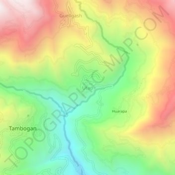
Name: Utao topographic map, elevation, terrain.

Location: Utao, Churubamba, Huánuco, Perú (-9.78521 -76.23398 -9.74521 -76.19398)

Average elevation: 9,760 ft

Minimum elevation: 7,858 ft

Maximum elevation: 12,041 ft

Gear up for your next adventure:

🦟Ultrasonic Repellers - Create a bug-free zone at your camp or rest stop
🎁Geography Themed Gifts - Unique gift ideas for map lovers and geography enthusiasts
🚗GPS Dash Cams - Record your scenic drives through mountain passes and canyons
💧Water Filtration Bottles - Safely drink from streams and lakes while exploring
📶Satellite Messenger - Communication device off‑grid

As an Amazon Associate, this site earns from qualifying purchases at no extra cost to you.