
Thank you for supporting this site ❤️
Make a donation
Make a donation
Gear up for your next adventure:
As an Amazon Associate, this site earns from qualifying purchases at no extra cost to you.
Khogarpara topographic map
Click on the map to display elevation.
Thank you for supporting this site ❤️
Make a donation
Make a donation
Gear up for your next adventure:
As an Amazon Associate, this site earns from qualifying purchases at no extra cost to you.
About this map
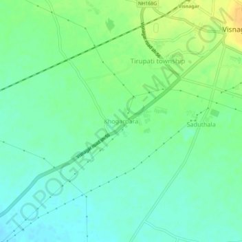
Name: Khogarpara topographic map, elevation, terrain.
Location: Khogarpara, Visnagar Taluka, Mahesana, Gujarat, 384300, India (23.66260 72.50981 23.70260 72.54981)
Average elevation: 397 ft
Minimum elevation: 361 ft
Maximum elevation: 453 ft
Thank you for supporting this site ❤️
Make a donation
Make a donation
Gear up for your next adventure:
As an Amazon Associate, this site earns from qualifying purchases at no extra cost to you.