Geolocate

Oberweis topographic map

Click on the map to display elevation.

About this map
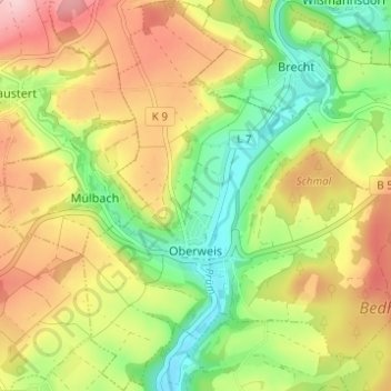
Name: Oberweis topographic map, elevation, terrain.

Location: Oberweis, Bitburger Land, Eifelkreis Bitburg-Prüm, Rijnland-Palts, Duitsland (49.94771 6.40208 49.98781 6.45804)

Average elevation: 991 ft

Minimum elevation: 699 ft

Maximum elevation: 1,319 ft

Other topographic maps

Click on a map to view its topography, its elevation and its terrain.

Buscht

Duitsland > Rijnland-Palts > Eifelkreis Bitburg-Prüm

Average elevation: 1,234 ft

Gear up for your next adventure:

🦶Carbon Trekking Poles - Reduce knee impact on steep descents with ultra-light poles
⌚Solar GPS Watches - Advanced multisport watches with built-in topographic maps
🛶Inflatable Kayak - Portable kayak for rivers, lakes, and expeditions
💧Water Purification System - Clean water on the trail with reliable purifiers
🏔️Mountain Trail Maps - High‑detail maps for popular peaks

As an Amazon Associate, this site earns from qualifying purchases at no extra cost to you.