
Thank you for supporting this site ❤️
Make a donation
Make a donation
Gear up for your next adventure:
As an Amazon Associate, this site earns from qualifying purchases at no extra cost to you.
Goreme topographic map
Click on the map to display elevation.
Thank you for supporting this site ❤️
Make a donation
Make a donation
Gear up for your next adventure:
As an Amazon Associate, this site earns from qualifying purchases at no extra cost to you.
About this map
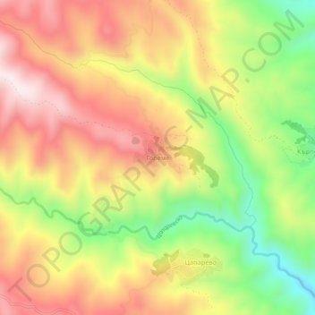
Name: Goreme topographic map, elevation, terrain.
Location: Goreme, Strumiani, Blagoevgrad, 2834, Bulgaria (41.62121 23.07062 41.66121 23.11062)
Average elevation: 2,451 ft
Minimum elevation: 1,427 ft
Maximum elevation: 3,392 ft
Thank you for supporting this site ❤️
Make a donation
Make a donation
Gear up for your next adventure:
As an Amazon Associate, this site earns from qualifying purchases at no extra cost to you.