

Pioggiola topographic map
Click on the map to display elevation.
Pioggiola
Avec une superficie de 18,59 km2, Pioggiola est la troisième des quatre communes du Giussani dont elle occupe la partie nord-ouest. Son territoire est une longue bande de terre orientée dans un axe SO - NE. Il se situe au nord du massif du monte Cinto, à l'adret de la partie septentrionale de la chaîne principale de l'île qui forme ici un vaste cirque montagneux, comprenant notamment le monte Padro sommet emblématique qui culmine à 2 393 mètres d'altitude. Le plus haut sommet communal est le San Parteo (1 680 m).
About this map
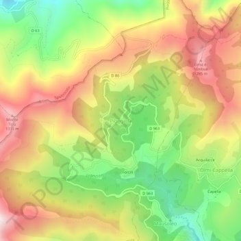
Name: Pioggiola topographic map, elevation, terrain.
Average elevation: 3,094 ft
Minimum elevation: 1,696 ft
Maximum elevation: 4,482 ft