Geolocate

Mercurín topographic map

Click on the map to display elevation.

About this map

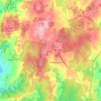
Name: Mercurín topographic map, elevation, terrain.

Location: Mercurín, Ordes, La Coruña, Galicia, España (43.09315 -8.46179 43.14669 -8.40274)

Average elevation: 1,198 ft

Minimum elevation: 860 ft

Maximum elevation: 1,434 ft

Gear up for your next adventure:

🧼Biodegradable Camping Soap - Eco‑friendly soap for outdoor hygiene
🪶Camping Sleeping Pad - Comfortable sleeping pad for backpacking
🦶Carbon Trekking Poles - Reduce knee impact on steep descents with ultra-light poles
🧣Hiking Neck Gaiter - Multi‑use neck protection for outdoor weather
🧭GPS Watch Accessories - Bands and chargers for GPS watches

As an Amazon Associate, this site earns from qualifying purchases at no extra cost to you.