
Patel Cheruvu topographic map
Click on the map to display elevation.
About this map
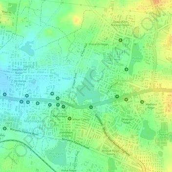
Name: Patel Cheruvu topographic map, elevation, terrain.
Average elevation: 1,893 ft
Minimum elevation: 1,837 ft
Maximum elevation: 1,959 ft
Other topographic maps
Click on a map to view its topography, its elevation and its terrain.
Ward 106 Serilingampally
India > Telangana > Serilingampalle mandal > Hyderabad
Average elevation: 1,929 ft
Durgam Cheruvu Secret Lake Park
India > Telangana > Serilingampalle mandal > Hyderabad
Average elevation: 1,900 ft