Geolocate

Atenas topographic map

Click on the map to display elevation.

About this map

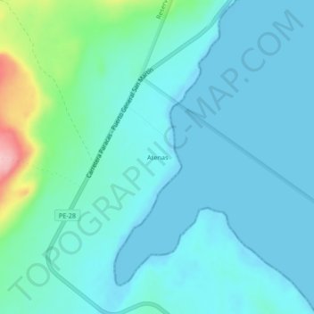
Name: Atenas topographic map, elevation, terrain.

Location: Atenas, Paracas, Provincia de Pisco, Ica, Perú (-13.85105 -76.32624 -13.81105 -76.28624)

Average elevation: 85 ft

Minimum elevation: 0 ft

Maximum elevation: 561 ft

Gear up for your next adventure:

🪶Survival Guide Book - Expert advice for emergency preparedness
🧭Pro Hiking Compasses - High-accuracy liquid-filled compasses for topographic orientation
Backpacking Tents - Weight-optimized shelters for multi-day topographic surveys
📦Gear Storage Bags - Organize and protect outdoor equipment
🪶LED Camping Lantern - Bright lantern for camp lighting

As an Amazon Associate, this site earns from qualifying purchases at no extra cost to you.