
Thank you for supporting this site ❤️
Make a donation
Make a donation
Gear up for your next adventure:
As an Amazon Associate, this site earns from qualifying purchases at no extra cost to you.
Ghagra topographic map
Click on the map to display elevation.
Thank you for supporting this site ❤️
Make a donation
Make a donation
Gear up for your next adventure:
As an Amazon Associate, this site earns from qualifying purchases at no extra cost to you.
About this map
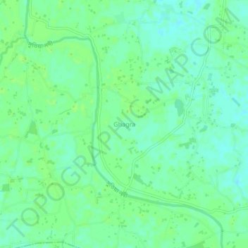
Name: Ghagra topographic map, elevation, terrain.
Location: Ghagra, Mymensingh District, Mymensingh Division, Bangladesh (24.67711 90.35407 24.71711 90.39407)
Average elevation: 46 ft
Minimum elevation: 26 ft
Maximum elevation: 56 ft
Thank you for supporting this site ❤️
Make a donation
Make a donation
Gear up for your next adventure:
As an Amazon Associate, this site earns from qualifying purchases at no extra cost to you.