
Atlas Mountains topographic map
Click on the map to display elevation.
Atlas Mountains
The Atlas Mountains are a mountain range in the Maghreb in North Africa. It separates the Sahara Desert from the Mediterranean Sea and the Atlantic Ocean; the name "Atlantic" is derived from the mountain range, which stretches around 2,500 km (1,600 mi) through Morocco, Algeria and Tunisia. The range's highest peak is Toubkal, which is in central Morocco, with an elevation of 4,167 metres (13,671 ft). The Atlas Mountains are primarily inhabited by Berber populations.
About this map
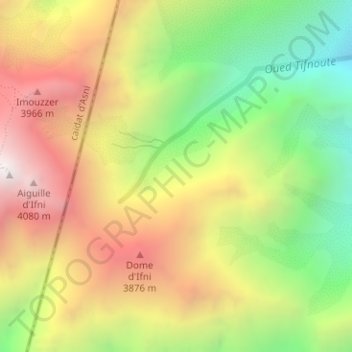
Name: Atlas Mountains topographic map, elevation, terrain.
Average elevation: 11,161 ft
Minimum elevation: 8,766 ft
Maximum elevation: 13,648 ft