
Kashkhatau topographic map
Interactive map
Click on the map to display elevation.
About this map
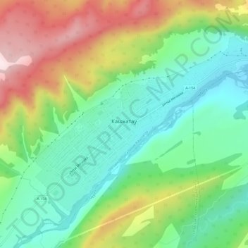
Name: Kashkhatau topographic map, elevation, terrain.
Average elevation: 2,717 ft
Minimum elevation: 2,083 ft
Maximum elevation: 3,802 ft
Other topographic maps
Click on a map to view its topography, its elevation and its terrain.
Bezengi
Russia > Kabardino-Balkaria > Cherek District
Bezengi, сельское поселение Безенги, Cherek District, Kabardino-Balkaria, North Caucasian Federal District, Russia
Average elevation: 5,374 ft
Karasu
Russia > Kabardino-Balkaria > Cherek District
Karasu, Cherek District, Kabardino-Balkaria, North Caucasian Federal District, Russia
Average elevation: 4,846 ft