
Orizaba topographic map
Interactive map
Click on the map to display elevation.
About this map
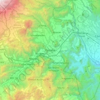
Name: Orizaba topographic map, elevation, terrain.
Location: Orizaba, Veracruz, 94300, Mexico (18.68974 -97.26601 19.00974 -96.94601)
Average elevation: 5,551 ft
Minimum elevation: 2,146 ft
Maximum elevation: 15,272 ft
Other topographic maps
Click on a map to view its topography, its elevation and its terrain.