Geolocate

Porac topographic map

Click on the map to display elevation.

About this map

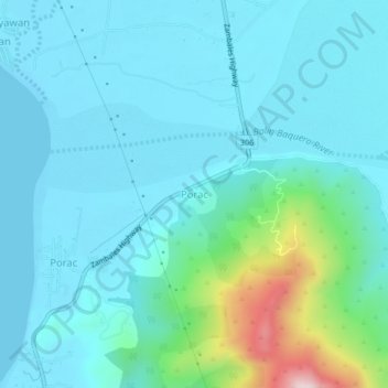
Name: Porac topographic map, elevation, terrain.

Location: Porac, Botolan, Zambales, Central Luzon, 2202, Philippines (15.23783 120.01143 15.27783 120.05143)

Average elevation: 226 ft

Minimum elevation: -7 ft

Maximum elevation: 1,457 ft

Gear up for your next adventure:

🪶Compact Camp Shovel - Folding shovel for campsite tasks
🏫Relief Map Kits - Hands-on tools for teaching landforms and elevation
🩳Quick‑Dry Hiking Shorts - Comfortable and quick‑dry shorts for summer hiking
📻Weather Alert Radios - Stay informed of storm risks while off-the-grid
🛏️Cold Weather Sleeping Bag - Warm sleeping bag for cold conditions

As an Amazon Associate, this site earns from qualifying purchases at no extra cost to you.