Geolocate

Murray topographic map

Click on the map to display elevation.

About this map

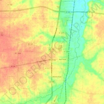
Name: Murray topographic map, elevation, terrain.

Location: Murray, Calloway County, Kentucky, United States (36.57182 -88.36125 36.66204 -88.28567)

Average elevation: 522 ft

Minimum elevation: 430 ft

Maximum elevation: 584 ft

Calloway County trails, hiking, mountain biking, running and outdoor activities

Other topographic maps

Click on a map to view its topography, its elevation and its terrain.

New Concord

United States > Kentucky > Calloway County

Average elevation: 410 ft

Aboretum

United States > Kentucky > Calloway County > Murray

Average elevation: 551 ft

Gear up for your next adventure:

🏫Relief Map Kits - Hands-on tools for teaching landforms and elevation
🛰️Handheld GPS Units - Professional satellite navigators for precise backcountry mapping
🎒Hydration Pack - Hands‑free water reservoir for long hikes
📱Solar Portable Charger - Solar power bank for charging devices off‑grid
⛑️Personal Locator Beacon - Safety beacon for emergencies

As an Amazon Associate, this site earns from qualifying purchases at no extra cost to you.