Geolocate

Mansehra topographic map

Click on the map to display elevation.

About this map

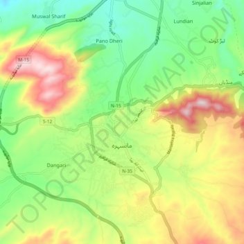
Name: Mansehra topographic map, elevation, terrain.

Location: Mansehra, Khyber Pakhtunkhwa, Pakistan (34.29815 73.16883 34.37324 73.23579)

Average elevation: 3,579 ft

Minimum elevation: 2,881 ft

Maximum elevation: 4,600 ft

Gear up for your next adventure:

🔥Fast-Boil Camping Stoves - Efficient cooking systems for quick trail meals
🎒Outdoor Daypacks - Lightweight backpacks designed for carrying maps and essential gear
🥄Camping Utensil Set - Lightweight utensils for outdoor meals
🧣Merino Neck Gaiters - Multi-functional headwear for wind and sun protection
📚Navigation Handbooks - Master the art of reading topographic maps and using a compass

As an Amazon Associate, this site earns from qualifying purchases at no extra cost to you.