
Cottageville topographic map
Click on the map to display elevation.
About this map
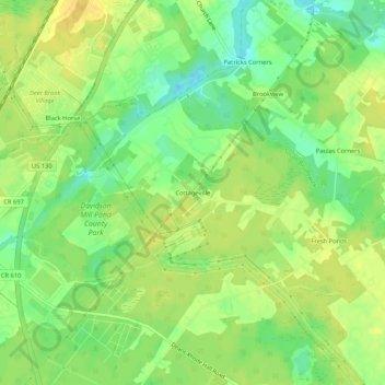
Name: Cottageville topographic map, elevation, terrain.
Average elevation: 95 ft
Minimum elevation: 43 ft
Maximum elevation: 131 ft
Other topographic maps
Click on a map to view its topography, its elevation and its terrain.
Kendall Park
United States > New Jersey > Middlesex County > South Brunswick
Average elevation: 207 ft
Monmouth Junction
United States > New Jersey > Middlesex County > South Brunswick
Average elevation: 108 ft