
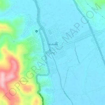
Tarutung topographic map
Interactive map
Click on the map to display elevation.
About this map
Name: Tarutung topographic map, elevation, terrain.
Average elevation: 3,215 ft
Minimum elevation: 3,091 ft
Maximum elevation: 3,727 ft
Other topographic maps
Click on a map to view its topography, its elevation and its terrain.
Aqua Soda- natural sparkling water pool
Indonesia > North Sumatra > North Tapanuli > Tarutung
Average elevation: 3,330 ft