Geolocate

Twin Falls topographic map

Click on the map to display elevation.

About this map

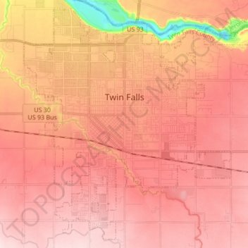
Name: Twin Falls topographic map, elevation, terrain.

Location: Twin Falls, Twin Falls County, Idaho, 83301, United States (42.51253 -114.51593 42.60642 -114.37903)

Average elevation: 3,734 ft

Minimum elevation: 3,117 ft

Maximum elevation: 4,035 ft

Twin Falls County trails, hiking, mountain biking, running and outdoor activities

Other topographic maps

Click on a map to view its topography, its elevation and its terrain.

Twin Falls

United States > Idaho > Twin Falls County > Twin Falls

Average elevation: 3,901 ft

Gear up for your next adventure:

🔦Powerful Headlamps - Ultra-bright hands-free lighting for night navigation
🧭Outdoor Navigation Book - Learn advanced navigation skills
📶Satellite Messenger - Communication device off‑grid
🧭Compass with Lanyard - Easy‑carry compass for navigation
🧷Carabiner Set - Durable clips for gear attachment

As an Amazon Associate, this site earns from qualifying purchases at no extra cost to you.