
Inklin topographic map
Interactive map
Click on the map to display elevation.
About this map
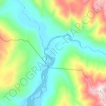
Name: Inklin topographic map, elevation, terrain.
Location: Inklin, Stikine Region, British Columbia, Canada (58.86000 -133.17333 58.94000 -133.09333)
Average elevation: 1,716 ft
Minimum elevation: 249 ft
Maximum elevation: 5,384 ft