
Yale topographic map
Click on the map to display elevation.
About this map
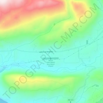
Name: Yale topographic map, elevation, terrain.
Location: Yale, Cowlitz County, Washington, 98603, United States (45.97539 -122.40010 46.01539 -122.36010)
Average elevation: 843 ft
Minimum elevation: 197 ft
Maximum elevation: 2,192 ft
Cowlitz County trails, hiking, mountain biking, running and outdoor activities
Other topographic maps
Click on a map to view its topography, its elevation and its terrain.