Geolocate

Cerro Paramillo topographic map

Click on the map to display elevation.

About this map

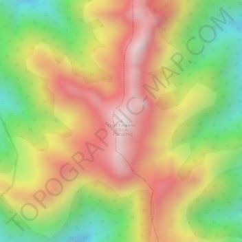
Name: Cerro Paramillo topographic map, elevation, terrain.

Location: Cerro Paramillo, Peque, Occidente, Antioquia, Colombia (7.10314 -75.96924 7.10324 -75.96914)

Average elevation: 11,266 ft

Minimum elevation: 10,131 ft

Maximum elevation: 12,211 ft

Gear up for your next adventure:

🪶Trail Camera - Capture wildlife on your hikes
🏥Hiking First Aid Kits - Comprehensive medical kits for remote trail injuries
Camping Coffee Makers - Enjoy premium coffee at the summit or campsite
🎒Trail Energy Bars - High‑calorie bars for hiking energy
🌡️Handheld Weather Meters - Measure wind, temp, and pressure for safe mountain travel

As an Amazon Associate, this site earns from qualifying purchases at no extra cost to you.