
Make a donation
Gear up for your next adventure:
As an Amazon Associate, this site earns from qualifying purchases at no extra cost to you.
Ruisbroek topographic map
Click on the map to display elevation.
Make a donation
Gear up for your next adventure:
As an Amazon Associate, this site earns from qualifying purchases at no extra cost to you.
Ruisbroek
Ruisbroek is een deelgemeente van de huidige gemeente Puurs-Sint-Amands, in de provincie Antwerpen. Het dorp ligt aan de linkeroever van de Rupel, op een hoogte van 1 tot 2 meter boven het zeeniveau, Het is daardoor een van de laagst gelegen gemeenten van België. Enkel een smalle van west naar oost gerichte strook halverwege het dorp haalt de hoogte van 3 meter.
Make a donation
Gear up for your next adventure:
As an Amazon Associate, this site earns from qualifying purchases at no extra cost to you.
About this map
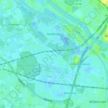
Name: Ruisbroek topographic map, elevation, terrain.
Average elevation: 10 ft
Minimum elevation: -46 ft
Maximum elevation: 49 ft
Make a donation
Gear up for your next adventure:
As an Amazon Associate, this site earns from qualifying purchases at no extra cost to you.
Other topographic maps
Click on a map to view its topography, its elevation and its terrain.