Geolocate

Monte Strega topographic map

Click on the map to display elevation.

About this map

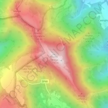
Name: Monte Strega topographic map, elevation, terrain.

Location: Monte Strega, Sassoferrato, Ancona, Marche, Italia (43.45010 12.77958 43.45020 12.77968)

Average elevation: 2,910 ft

Minimum elevation: 1,663 ft

Maximum elevation: 4,131 ft

Gear up for your next adventure:

📚Navigation Handbooks - Master the art of reading topographic maps and using a compass
😴Insulated Sleeping Pads - Compact and warm pads for high-elevation camping
🦟Ultrasonic Repellers - Create a bug-free zone at your camp or rest stop
🛠️Backpacking Tool Kit - Essential toolkit for outdoor repairs
🧭Pro Hiking Compasses - High-accuracy liquid-filled compasses for topographic orientation

As an Amazon Associate, this site earns from qualifying purchases at no extra cost to you.