
Olivehurst topographic map
Click on the map to display elevation.
About this map
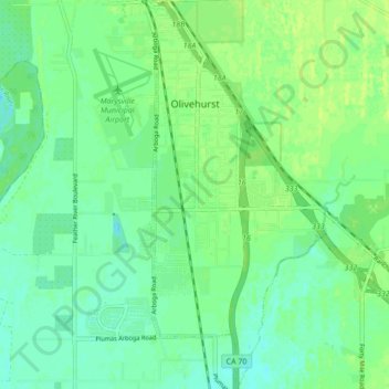
Name: Olivehurst topographic map, elevation, terrain.
Location: Olivehurst, Yuba County, California, United States (39.04615 -121.58029 39.11328 -121.52315)
Average elevation: 59 ft
Minimum elevation: 36 ft
Maximum elevation: 79 ft
Yuba County trails, hiking, mountain biking, running and outdoor activities
Other topographic maps
Click on a map to view its topography, its elevation and its terrain.