
Sassi topographic map
Click on the map to display elevation.
About this map
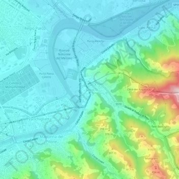
Name: Sassi topographic map, elevation, terrain.
Location: Sassi, Torino, Piemonte, 10132, Italia (45.05932 7.71231 45.09932 7.75231)
Average elevation: 886 ft
Minimum elevation: 666 ft
Maximum elevation: 1,693 ft