
Bridlewood Canyon topographic map
Interactive map
Click on the map to display elevation.
About this map
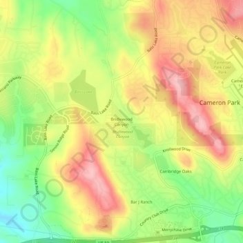
Name: Bridlewood Canyon topographic map, elevation, terrain.
Average elevation: 1,234 ft
Minimum elevation: 971 ft
Maximum elevation: 1,470 ft
El Dorado County trails, hiking, mountain biking, running and outdoor activities
Other topographic maps
Click on a map to view its topography, its elevation and its terrain.
Laurel Oaks Park
United States > California > El Dorado County > Cameron Park > Bar J Ranch
Average elevation: 1,247 ft