
Hongu topographic map
Interactive map
Click on the map to display elevation.
About this map
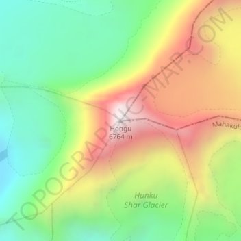
Name: Hongu topographic map, elevation, terrain.
Location: Hongu, Chheskam, Mahakulung, Solukhumbu, Koshi Province, Nepal (27.82539 86.97703 27.82549 86.97713)
Average elevation: 19,685 ft
Minimum elevation: 17,877 ft
Maximum elevation: 22,100 ft