
Soldiers Grove topographic map
Click on the map to display elevation.
About this map
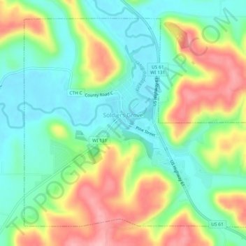
Name: Soldiers Grove topographic map, elevation, terrain.
Location: Soldiers Grove, Crawford County, Wisconsin, United States (43.37975 -90.79303 43.40854 -90.74659)
Average elevation: 883 ft
Minimum elevation: 705 ft
Maximum elevation: 1,161 ft
Crawford County trails, hiking, mountain biking, running and outdoor activities
Other topographic maps
Click on a map to view its topography, its elevation and its terrain.
Kickapoo River State Wildlife Area
United States > Wisconsin > Crawford County > Bell Center
Average elevation: 820 ft