Geolocate

Tropic Isle topographic map

Click on the map to display elevation.

About this map

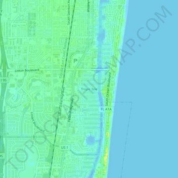
Name: Tropic Isle topographic map, elevation, terrain.

Location: Tropic Isle, Delray Beach, Palm Beach County, Florida, 33483, United States (26.41535 -80.08782 26.45535 -80.04782)

Average elevation: 16 ft

Minimum elevation: 0 ft

Maximum elevation: 75 ft

Palm Beach County trails, hiking, mountain biking, running and outdoor activities

Other topographic maps

Click on a map to view its topography, its elevation and its terrain.

Gear up for your next adventure:

🗻Climbing Gear Basics - Essential gear for beginner climbers
👖Convertible Hiking Pants - Versatile zip-off pants for changing altitudes and temperatures
🔭Stargazing Telescopes - Perfect for camping in low-light pollution areas shown on maps
📷Action Cameras - Rugged cameras to document your journeys across rugged terrain
📚Navigation Handbooks - Master the art of reading topographic maps and using a compass

As an Amazon Associate, this site earns from qualifying purchases at no extra cost to you.