Geolocate

Varna topographic map

Click on the map to display elevation.

About this map

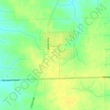
Name: Varna topographic map, elevation, terrain.

Location: Varna, Marshall County, Illinois, United States (41.02841 -89.23107 41.03997 -89.21977)

Average elevation: 722 ft

Minimum elevation: 679 ft

Maximum elevation: 751 ft

Marshall County trails, hiking, mountain biking, running and outdoor activities

Gear up for your next adventure:

🧣Hiking Neck Gaiter - Multi‑use neck protection for outdoor weather
🧭Pro Hiking Compasses - High-accuracy liquid-filled compasses for topographic orientation
🎒Hydration Pack - Hands‑free water reservoir for long hikes
🧢Outdoor Hiking Hat - Sun protection hat for outdoor explorers
🗺️NatGeo Topo Maps - High-quality waterproof printed topographic maps of US Parks

As an Amazon Associate, this site earns from qualifying purchases at no extra cost to you.