
Solana topographic map
Click on the map to display elevation.
About this map
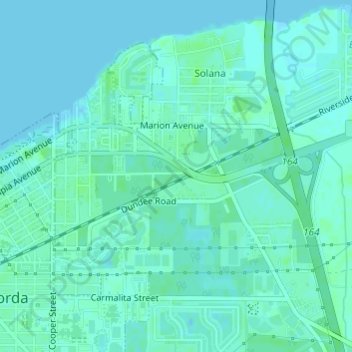
Name: Solana topographic map, elevation, terrain.
Average elevation: 10 ft
Minimum elevation: 0 ft
Maximum elevation: 23 ft
Charlotte County trails, hiking, mountain biking, running and outdoor activities
Other topographic maps
Click on a map to view its topography, its elevation and its terrain.
Punta Gorda
United States > Florida > Charlotte County > Punta Gorda > Punta Gorda
Average elevation: 7 ft
South Punta Gorda Heights
United States > Florida > Charlotte County > Punta Gorda
Average elevation: 26 ft