Geolocate

Webling topographic map

Click on the map to display elevation.

About this map

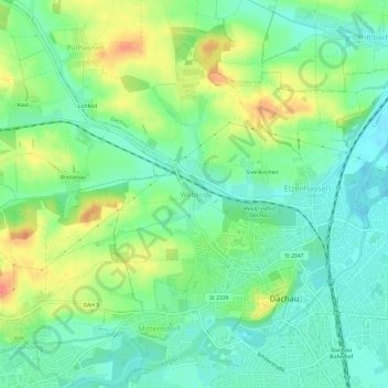
Name: Webling topographic map, elevation, terrain.

Location: Webling, Dachau, Landkreis Dachau, Bavaria, 85221, Germany (48.25001 11.40145 48.29001 11.44145)

Average elevation: 1,624 ft

Minimum elevation: 1,549 ft

Maximum elevation: 1,759 ft

Gear up for your next adventure:

🪶Compact Camp Shovel - Folding shovel for campsite tasks
🥇GPS Hiking Watch - Multi‑sport GPS watch with navigation and trail tracking
🗺️Topographic Maps - Detailed topo maps for hiking, exploring and outdoor navigation
📻Weather Alert Radios - Stay informed of storm risks while off-the-grid
🏥Hiking First Aid Kits - Comprehensive medical kits for remote trail injuries

As an Amazon Associate, this site earns from qualifying purchases at no extra cost to you.