Geolocate

Apache Junction topographic map

Click on the map to display elevation.

About this map

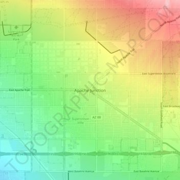
Name: Apache Junction topographic map, elevation, terrain.

Location: Apache Junction, Pinal County, Arizona, 85220, United States (33.37505 -111.58958 33.45505 -111.50958)

Average elevation: 1,719 ft

Minimum elevation: 1,512 ft

Maximum elevation: 2,008 ft

Pinal County trails, hiking, mountain biking, running and outdoor activities

Gear up for your next adventure:

🧭Hiking Compass - Precision compass for reliable navigation in the wilderness
🧷Carabiner Set - Durable clips for gear attachment
🧭Orienteering Set - Complete compass and map reading kit
🪵Folding Camp Saw - Compact saw for wood and campsite work
❄️Traction Cleats - Prevent slips on icy trails during winter hikes

As an Amazon Associate, this site earns from qualifying purchases at no extra cost to you.