Geolocate

Ravinia topographic map

Click on the map to display elevation.

About this map

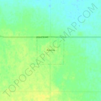
Name: Ravinia topographic map, elevation, terrain.

Location: Ravinia, Charles Mix County, South Dakota, United States (43.13287 -98.43176 43.14019 -98.42192)

Average elevation: 1,496 ft

Minimum elevation: 1,463 ft

Maximum elevation: 1,526 ft

Charles Mix County trails, hiking, mountain biking, running and outdoor activities

Gear up for your next adventure:

🕶️GPS Smartphone Mount - Secure mount for phone navigation
🎒Gear Packing Cubes - Organize your backpack efficiently
👟Trail Running Shoes - Lightweight shoes for trail runners
🧭Outdoor Navigation Book - Learn advanced navigation skills
🏔️Mountain Trail Maps - High‑detail maps for popular peaks

As an Amazon Associate, this site earns from qualifying purchases at no extra cost to you.