Geolocate

Morgans Point Resort topographic map

Click on the map to display elevation.

About this map

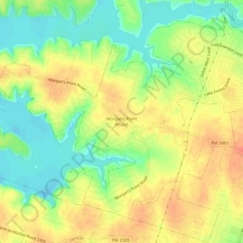
Name: Morgans Point Resort topographic map, elevation, terrain.

Location: Morgans Point Resort, Bell County, Texas, United States (31.12823 -97.48334 31.16823 -97.44334)

Average elevation: 659 ft

Minimum elevation: 577 ft

Maximum elevation: 732 ft

Bell County trails, hiking, mountain biking, running and outdoor activities

Gear up for your next adventure:

🥩Freeze-Dried Meals - Nutritious and lightweight food for remote expeditions
🚁Photography Drones - Capture stunning aerial views of landforms and topography
⛑️Personal Locator Beacon - Safety beacon for emergencies
🧷Carabiner Set - Durable clips for gear attachment
📖Nature Tracking Books - Learn to track wildlife and terrain

As an Amazon Associate, this site earns from qualifying purchases at no extra cost to you.