Geolocate

Surprise topographic map

Click on the map to display elevation.

About this map
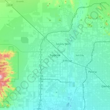
Name: Surprise topographic map, elevation, terrain.

Location: Surprise, Maricopa County, Arizona, 85374, United States (33.46923 -112.52802 33.78923 -112.20802)

Average elevation: 1,345 ft

Minimum elevation: 965 ft

Maximum elevation: 3,976 ft

Maricopa County trails, hiking, mountain biking, running and outdoor activities

Gear up for your next adventure:

🛰️Handheld GPS Units - Professional satellite navigators for precise backcountry mapping
🩹Survival Bandages - High‑quality bandages for emergencies
🧤Hiking Gloves - Protective gloves for rugged trails
🧯Portable Fire Pit - Compact fire pit for camping spots
📚USA Hiking Guide Books - Top trail guides and map books

As an Amazon Associate, this site earns from qualifying purchases at no extra cost to you.