
Atures Municipality topographic map
Click on the map to display elevation.
About this map
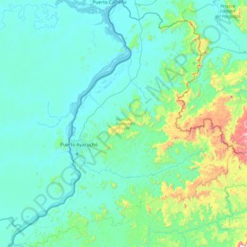
Name: Atures Municipality topographic map, elevation, terrain.
Location: Atures Municipality, Amazonas State, 7101, Venezuela (5.28155 -67.83601 6.19880 -66.98264)
Average elevation: 587 ft
Minimum elevation: 118 ft
Maximum elevation: 3,524 ft