
Grassland Addition topographic map
Click on the map to display elevation.
About this map
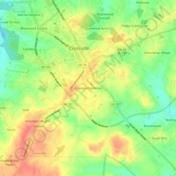
Name: Grassland Addition topographic map, elevation, terrain.
Average elevation: 1,837 ft
Minimum elevation: 1,726 ft
Maximum elevation: 1,942 ft
Cumberland County trails, hiking, mountain biking, running and outdoor activities
Other topographic maps
Click on a map to view its topography, its elevation and its terrain.
Cumberland Mountain State Park
United States > Tennessee > Cumberland County > Crossville
Average elevation: 1,818 ft