Geolocate

Kuthalam topographic map

Click on the map to display elevation.

About this map
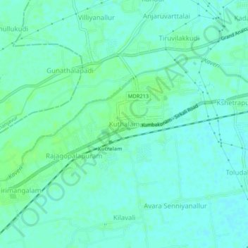
Name: Kuthalam topographic map, elevation, terrain.

Location: Kuthalam, Mayiladuthurai, Tamil Nadu, 609801, India (11.05281 79.53955 11.09281 79.57955)

Average elevation: 49 ft

Minimum elevation: 36 ft

Maximum elevation: 66 ft

Gear up for your next adventure:

🎁Geography Themed Gifts - Unique gift ideas for map lovers and geography enthusiasts
📡GPS Antenna Upgrade - Enhance GPS reception in remote terrain
🥇GPS Hiking Watch - Multi‑sport GPS watch with navigation and trail tracking
🩳Quick‑Dry Hiking Shorts - Comfortable and quick‑dry shorts for summer hiking
🪵Folding Camp Saw - Compact saw for wood and campsite work

As an Amazon Associate, this site earns from qualifying purchases at no extra cost to you.