Geolocate

Pohorje topographic map

Click on the map to display elevation.

About this map

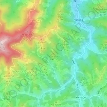
Name: Pohorje topographic map, elevation, terrain.

Location: Pohorje, Majšperk, 2289, Slovenia (46.30450 15.75880 46.30460 15.75890)

Average elevation: 1,260 ft

Minimum elevation: 850 ft

Maximum elevation: 1,995 ft

Gear up for your next adventure:

🌎3D Topographic Globes - Raised relief globes for a tactile understanding of geography
🥾Hiking Shoes - Durable and comfortable shoes for trail hiking
📱Heavy-Duty Phone Cases - Drop-proof and waterproof protection for outdoor navigation
🧣Hiking Neck Gaiter - Multi‑use neck protection for outdoor weather
🔦Powerful Headlamps - Ultra-bright hands-free lighting for night navigation

As an Amazon Associate, this site earns from qualifying purchases at no extra cost to you.